Największy na świecie niekomercyjny serwis geocachingowy
GeoŚcieżki - skupiające wiele keszy
Ponad 1000 GeoŚcieżek w Polsce!
Pełne statystyki, GPXy, wszystko za darmo!
Powiadomienia mailem o nowych keszach i logach
Centrum Obsługi Geokeszera wybierane przez Społeczność
100% funkcjonalności dostępne bezpłatnie
Przyjazne zasady publikacji keszy
Show cache statistics
WODNY DÓŁ - zmurszały pień - OP8U8M
This cache belongs to GeoPath!
Please log in to see the coordinates.
Altitude: 276 m. ASL.
Region:
Poland > lubelskie
Cache type:
Traditional
Size:
Small
Status:
Ready for Search
Date hidden: 29-07-2018
Date created: 29-07-2018
Date published: 30-07-2018
Last modification: 02-09-2018
42x Found
0x Not found
12 notes
1 watchers
62 visitors
25 x rated
Rated as:
Good
In order to view coordinates and
the map of caches
you must be
logged in
Cache attributes
Description
PL
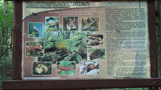
Informacje na tablicy.
Skrzyneczka - pojemnik laboratoryjny - po prawej stronie tablicy.
Powodzenia..
Additional hints
You must be logged-in to see additional hints
Pictures