

Show cache statistics
This cache belongs to GeoPath!
 Please log in to see the coordinates.
 136x Found
  5x Not found
  7 notes
  9 watchers
  Rated as: Excellent
 19 x recommended
This cache is recommended by:
AER, Chelsea118, Chrząszcze2, Cloudetta, Drangnel, dzaczek, Jed team, k.mil, kuczol, Marcello002, marvet, Nefryt+, night_time, ogicbf, PaniMaga, Ryjek+, sebmet, Silent A, wyciu


 Cache attributes


 Description
PL
Description
PL
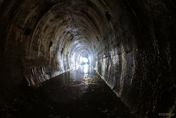
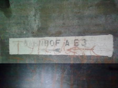
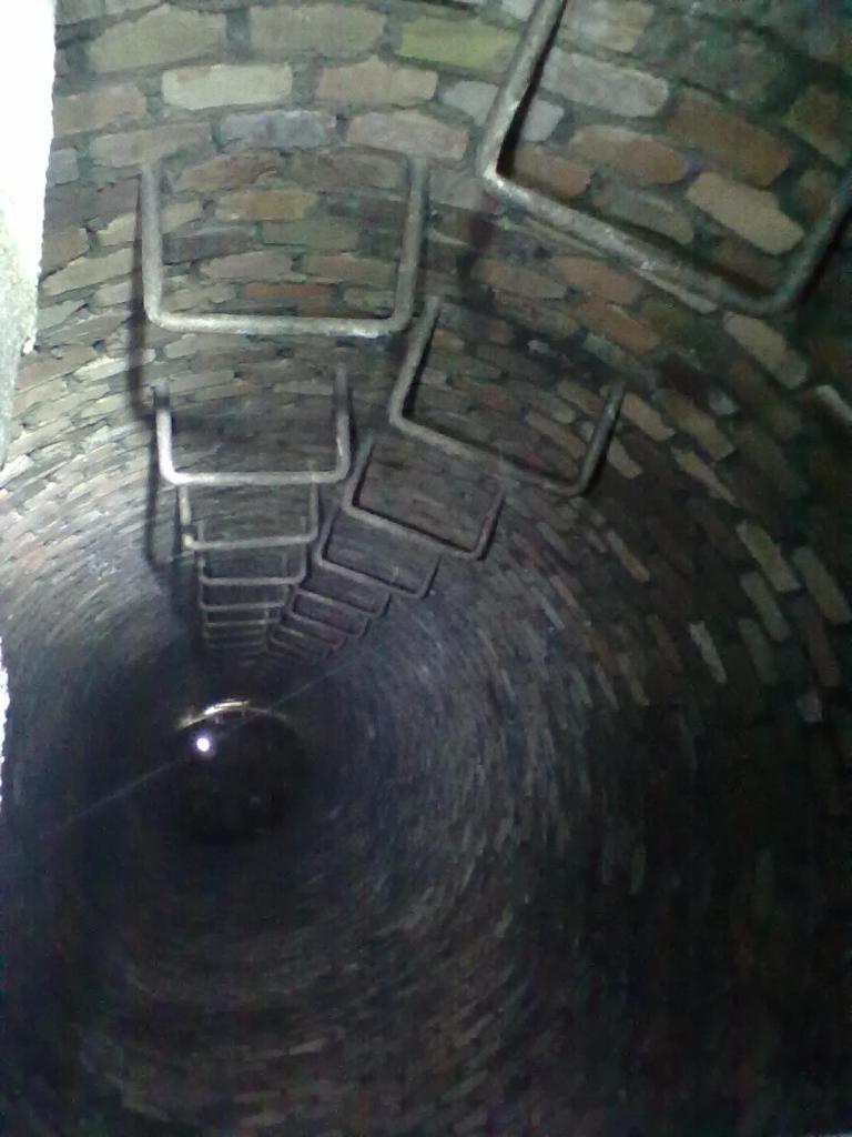
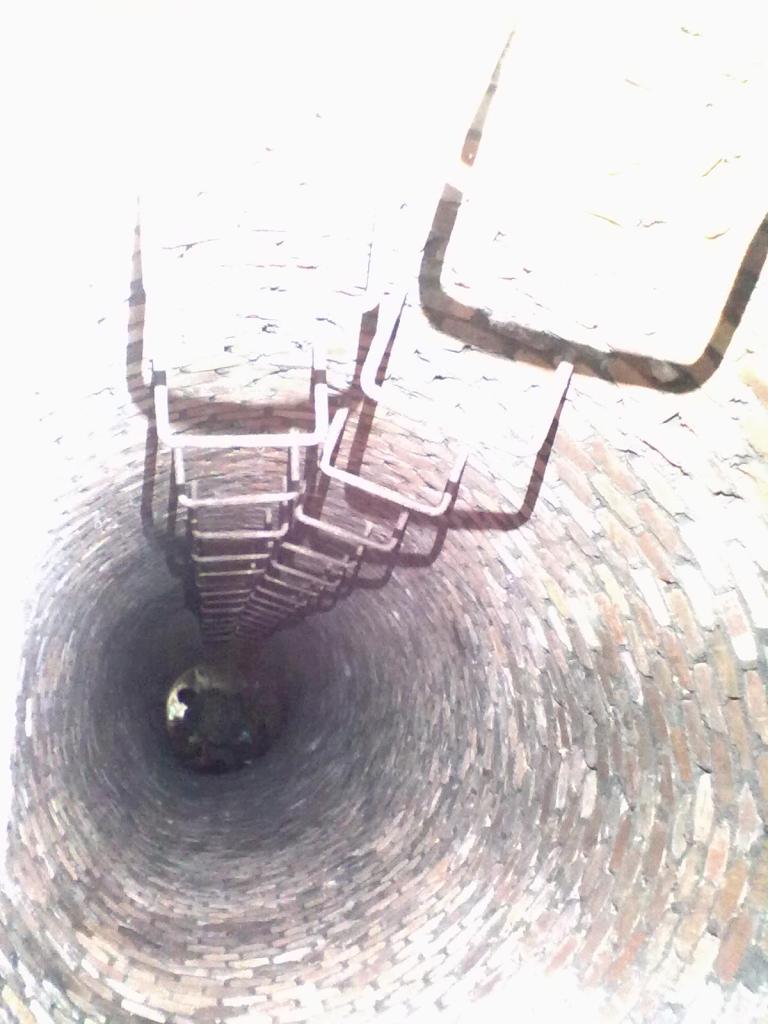
Aby zdobyć skrzynkę należy odnaleźć wejście do podziemnego systemu korytarzy MRU, następnie należy się udać w okolicę zaplanowanego wyjazdu A63. W tych okolicach należy odszukać ujęcie wody"studnię" do której trzeba wleźć po kesza.
Do podjęcia skrzynki przyda się latarka, dodatkowy komplet baterii, wodery i dobra mapa podziemnych korytarzy i lina dla bezpieczeństwa.
 Nature reserve areas
|
This geocache is probably placed in a nature protection area NATURA 2000
:
Nietoperek - PLH080003 |

|
 Pictures
 Log entries:
136x
5x
7x
Log entries:
136x
5x
7x


