

Show cache statistics
 Please log in to see the coordinates.

 Rated as: Average


 Cache attributes


 Description
PL
Description
PL
Keszyk przyrodniczo-sportowo-turystycznie-spacerowy założony przejazdem...Ale warto.
 Additional hints
You must be logged-in to see additional hints
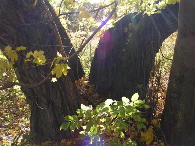
 Pictures
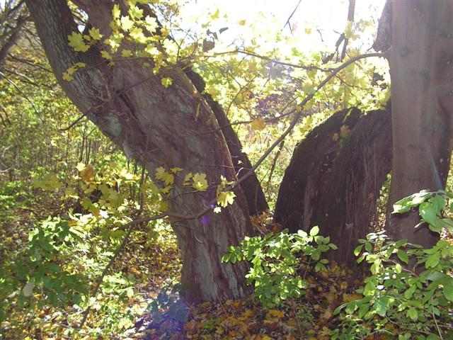


 Log entries:
 42x
42x
 0x
0x
 1x
1x


