

This cache does not have any statistics yet
 Please log in to see the coordinates.

 Rated as: n/a


 Cache attributes


 Description
(lost kilometer)
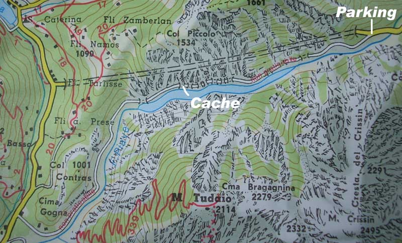
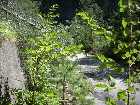
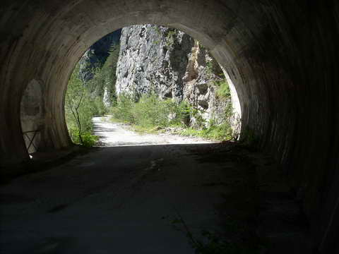
Your quest is explore old, lost road; former section of S.S.52 "Carnica" wchich was used before comfortable long and quick raod tunnel was made. Old road starts at lay-bay, turns south from road tunnel. DO NOT ENTER ROAD TUNNEL ANY REASON!! There is barier with "no entery" sign for motor vehicles. Nowadays old road is still in use only by cyclists, fishers and rarelly personnel of small hydro electric plant, (so do not leave car at the barrier, leave passing space for allowed vechicles). Viaducts with holes, short abandoned tunnels (flashlight is not required), stones felt on the roads from blanks above waiting to be re-discovered. And breathtaking views for lake closed by hydro electric plant dam. Path is little dangerous, but no more than average Alpine-mountain fotpath. Just keep your atention. Cache is reachable by bike, preferable MTB, but we saw few road-racing-bikers on their thin whels there. of course walk on your foot is possible as well. Cache is in middle of unused section, but after cache hunt, why not continue ride/walk to end of the section, where urbex-lovers can find abandon traditional Italian road keepers red building to explore. [Whole abandon road section is about 5,5km long]
We had hidden cache before 10-th tunnel, in wall, north side of the road, few cm above asphalt level, covered by stones. Take a look at photos if neccesery.For your information, distance between barier and 10-th tunnel is 2,75km. (measured by bicycle counter)
Please take service/reactivate pack with you and service cache if neccesary.
 Pictures

 Log entries:
 0x
0x
 0x
0x
 0x
0x


