

Show cache statistics
 Please log in to see the coordinates.
 96x Found
  0x Not found
  0 notes
  4 watchers
  Rated as: Excellent
 6 x recommended
This cache is recommended by:
grafen, Nannette, R-Sol, RaMaTo, rubin, starletka


 Description
Trip distance 1700 m.
Climbing 290 m.
You can leave Your Car in
Ladek Zdroj – „TROJAN” parking on Lesna street at place:
N 50 20,402
E 016 53,529
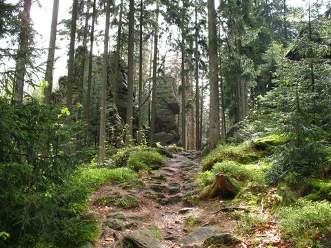
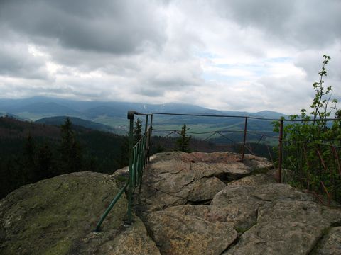
Trojak (766) is a mountain located on east direction from Ladek Zdroj. On the top there is a rock named TROJAN with view point.
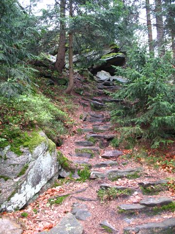
CACHE is hidden on right side of rock stairs to view point. The rock stairs are the first way to view point from blue touristic route from Ladek Zdroj.
Climbing 290 m.
You can leave Your Car in
Ladek Zdroj – „TROJAN” parking on Lesna street at place:
N 50 20,402
E 016 53,529
Trojak (766) is a mountain located on east direction from Ladek Zdroj. On the top there is a rock named TROJAN with view point.
CACHE is hidden on right side of rock stairs to view point. The rock stairs are the first way to view point from blue touristic route from Ladek Zdroj.
 Additional hints
You must be logged-in to see additional hints
 Nature reserve areas
| This geocache is probably placed in a nature protection area: | |
| Śnieżnicki Park Krajobrazowy |

|
 Pictures

 Log entries:
96x
0x
0x
Log entries:
96x
0x
0x


