

Zobacz statystykę skrzynki
 Zaloguj się, by zobaczyć współrzędne.
 34x znaleziona
  0x nieznaleziona
  0 komentarze
  1 obserwatorów
  Oceniona jako: dobra
 1 x rekomendowana
Skrzynka rekomendowana przez:
geoSniezka


Musisz się zalogować,
aby zobaczyć współrzędne oraz
mapę lokalizacji skrzynki
aby zobaczyć współrzędne oraz
mapę lokalizacji skrzynki
 Atrybuty skrzynki


 Opis
PL
Opis
PL
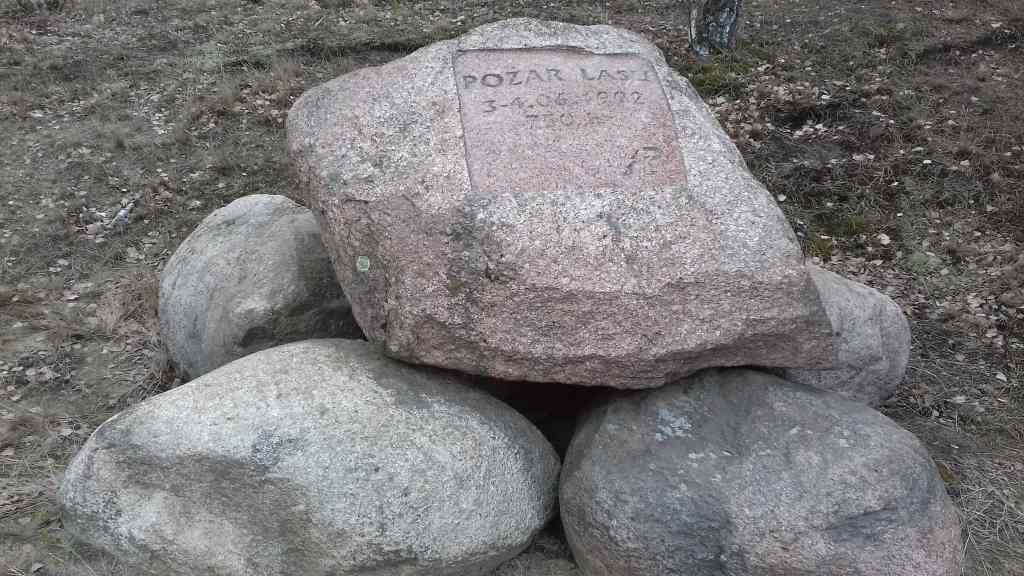
Przy tutejszej drodze znajduje się kamień upamiętniający pożar lasy z 1992 roku, w którym spłonęło 750 ha lasów.
 Dodatkowe informacje
Musisz być zalogowany, aby zobaczyć dodatkowe informacje.
 Obrazki/zdjęcia

 Wpisy do logu:
34x
0x
0x
Wpisy do logu:
34x
0x
0x


