

Show cache statistics
This cache belongs to GeoPath!
 Please log in to see the coordinates.
 73x Found
  0x Not found
  0 notes
  0 watchers
  Rated as: Excellent
 18 x recommended
This cache is recommended by:
ajka, anaslaw, ankos, atena.pl, Aynsley, brajan74, crazy_baby, Dallas, gagu, GFS, Gryzli , Harry_Hole, Mickey, Nannette, norbinorek, R-Sol, Thundercat, Tris


 Cache attributes


 Description
PL
Description
PL
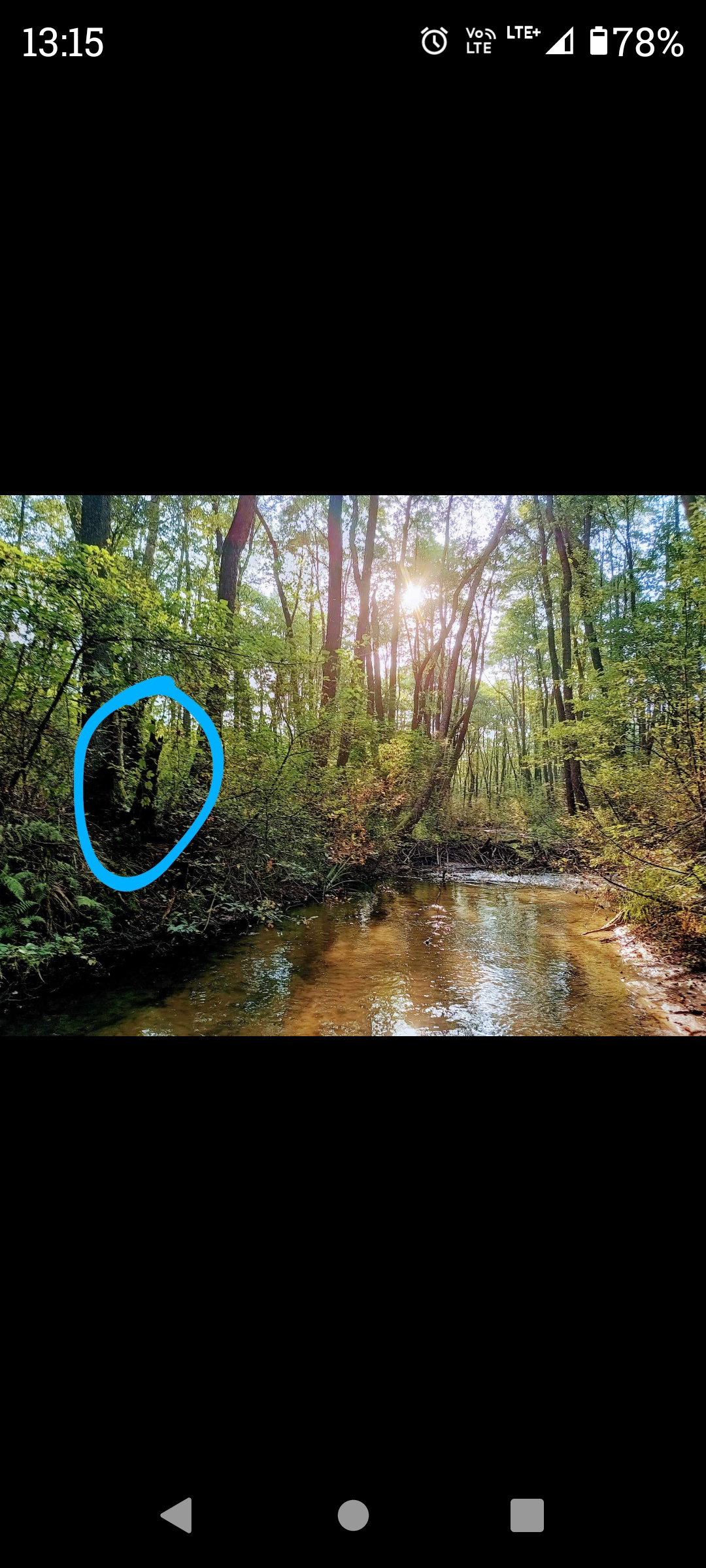
Przez pustynię z wschodu na zachód, przepływa rzeka Biała Przemsza.
Obszar pustyni objęty jest programem ochrony Natura 2000.
Do podjęcia kesza potrzebna będzie 1,5 litrowa butelka.
 Additional hints
You must be logged-in to see additional hints
 Pictures

 Log entries:
73x
0x
0x
Log entries:
73x
0x
0x


